Forest Area Encroached In 25 States, UTs; MP Has Highest Violation
Madhya Pradesh had the highest forest encroachment with 5,460.9 sq km affected as of March 2024, while 10 states are yet to submit data
Over 13,000 square kilometers of forest area in India is currently under encroachment, surpassing the combined geographical area of Delhi, Sikkim, and Goa. This alarming statistic comes from data submitted to the Union Environment Ministry by 25 states and Union Territories (UTs). Notably, ten states have yet to provide their data on forest encroachments.
Last year, the National Green Tribunal (NGT) took notice of a report by PTI, which highlighted that approximately 750,648 hectares (or 7,506.48 square kilometers) of forest land was encroached upon in India. In April 2023, the NGT directed the Environment Ministry to compile comprehensive details regarding forest encroachments across all states and UTs in a standardized format.
In a recent report submitted to the NGT, the ministry revealed that as of March 2024, a total of 1,305,668.1 hectares (or 13,056 square kilometers) of forest area is under encroachment in the 25 states and UTs that have provided data. The states and UTs that reported encroachments include Andaman & Nicobar Islands, Assam, Arunachal Pradesh, Andhra Pradesh, Chandigarh, Chhattisgarh, Dadra & Nagar Haveli and Daman & Diu, Jharkhand, Kerala, Lakshadweep, Maharashtra, Madhya Pradesh, Mizoram, Manipur, Odisha, Puducherry, Punjab, Sikkim, Tamil Nadu, Tripura, Uttarakhand, and Uttar Pradesh.
Conversely, the states and UTs that have not yet submitted their data on forest encroachments include Bihar, Haryana, Himachal Pradesh, Rajasthan, Telangana, West Bengal, Nagaland, Delhi, Jammu and Kashmir, and Ladakh.
It is important to distinguish between “forest area” or Recorded Forest Area (RFA) and “forest cover.” RFA refers to land officially designated as forest by the government, regardless of whether it has tree cover. RFA is categorized into three types: reserved forests, which receive full protection and generally prohibit activities like hunting and grazing; protected forests, where certain activities are allowed unless specifically restricted; and unclassed forests, which are not categorized as either reserved or protected.
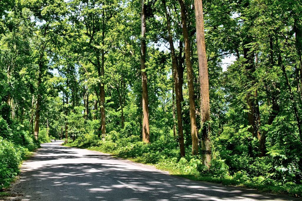
In contrast, forest cover refers to the actual area with tree canopy, defined as land with a tree canopy density of at least 10 percent over an area of more than one hectare. This includes forests both within and outside recorded forest areas, such as plantations, community forests, and private lands with tree growth.
According to the ministry’s report, Madhya Pradesh has the highest level of forest encroachment, with 5,460.9 square kilometers affected as of March 2024. Assam follows with 3,620.9 square kilometers of encroached forest area. Other states with significant encroachments include Karnataka (863.08 sq km), Maharashtra (575.54 sq km), Arunachal Pradesh (534.9 sq km), Odisha (405.07 sq km), and Uttar Pradesh (264.97 sq km). Additional encroachments were reported in Mizoram (247.72 sq km), Jharkhand (200.40 sq km), Chhattisgarh (168.91 sq km), Tamil Nadu (157.68 sq km), and Andhra Pradesh (133.18 sq km), among others.
The ministry’s report also noted that 409.77 square kilometers of encroached forest land has been cleared so far. However, it remains unclear whether this area has been deducted from the total reported encroachment as of March 2024.
To ensure compliance, the ministry has made multiple requests for data submission, sending letters on May 1, May 17, and May 28 of last year, followed by reminders via phone and a meeting on November 11. Further reminders were sent on February 22 and March 26 of this year, urging the remaining states and UTs to provide the necessary information in a tabulated format.