Bengaluru’s Hebbal Tunnel Project: Congestion Relief At What Cost?
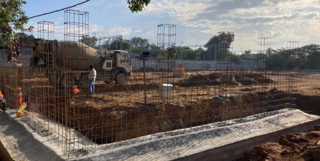
The construction site of the Hebbal short tunnel (Image by Sohel Sarkar)
- The proposed Hebbal tunnel is intended to ease one of north Bengaluru’s major traffic bottlenecks, but its long-term congestion benefits remain uncertain.
- Its alignment near Hebbal Lake has raised concerns over flooding, groundwater recharge and the loss of lake buffer space.
- While the project’s DPR proposes engineering measures to manage water, experts say their effectiveness will depend on the functioning of the wider lake and stormwater system.
Bengaluru’s proposed Hebbal tunnel is meant to reduce traffic at one of the city’s busiest junctions. But experts and residents are questioning whether it will provide lasting relief — and whether building it close to Hebbal Lake could create new problems related to flooding and groundwater.
The proposed three-lane, two-way tunnel will run for a little over two kilometres and connect Hebbal Junction with the areas beyond the Gandhi Krishi Vigyana Kendra (GKVK) campus and the Karnataka Veterinary, Animal and Fisheries Sciences University (KVAFSU).
The project is estimated to cost ₹1,385 crore, or around ₹622 crore per kilometre.
The tunnel is expected to improve traffic movement at Hebbal, an important connection between Kempegowda International Airport and other parts of Bengaluru. However, an analysis by the Sustainable Transportation Lab at the Indian Institute of Science (IISc) says the improvement may be limited.
The study describes the tunnel as a “highly localised improvement” that could simply “shift the congestion point” to the tunnel’s entry and exit. The project’s detailed project report (DPR) also estimates that by 2047, the tunnel could operate at or above its capacity under all the traffic scenarios studied.
Urban mobility expert Satya Arikutharam says this could make the existing traffic problem worse.
The tunnel, he says, “will also worsen the local traffic, the very problem it intends to solve.” Faster traffic entering nearby roads, he explains, could lead to “quicker accumulation of traffic, queuing pile-ups and traffic jams”.
Concerns over Hebbal Lake
The bigger concern is the tunnel’s proximity to Hebbal Lake.
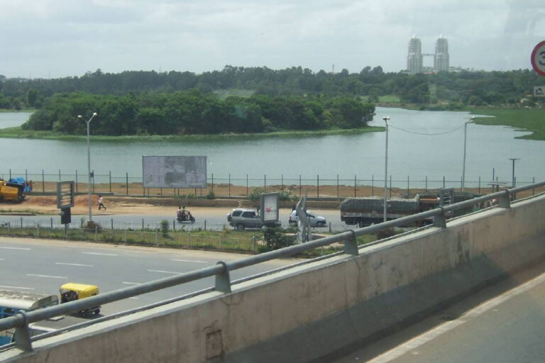
The 141-acre lake is an important part of the area’s drainage and groundwater system. The proposed route will pass close to the lake, raising questions about whether construction could affect water movement, groundwater recharge or the lake’s ability to hold floodwater.
A public interest litigation before the Karnataka High Court has challenged the project, arguing that it was being taken forward without adequate studies on groundwater, hydrology and the lake.
On August 6, the court asked the state government to clarify whether studies had been carried out to assess the tunnel’s effect on Hebbal Lake, including whether it could interfere with the lake’s inflow, outflow or underground water movement.
At a September 3 hearing, the court noted a geotechnical report saying the lake’s inflow and outflow would not be affected. It then directed the government to arrange a presentation by an engineer explaining how the project would protect the lake.
Yashwantha Kumar M., executive engineer with the Bangalore Development Authority (BDA), which is implementing the project, said hydrological studies had been conducted. He did not provide details, but said, “The BDA has filed a detailed response before the court to the hydrological questions raised in the petition.”
The DPR has set aside ₹75 lakh for an environmental impact assessment. However, no such assessment has been made public. Kumar said the amount was “just a budgetary provision” and that the study “can be done at any time”.
Why groundwater matters
Experts say the concern is not limited to the lake itself.
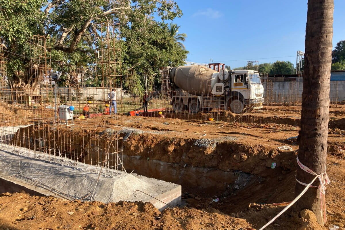
The tunnel will be constructed using the “cut-and-cover” method. This means the ground will be excavated to a depth of about 18.5 metres, the tunnel will be built and the surface will then be covered again.
During construction, groundwater may have to be pumped out, while stormwater drains may need to be temporarily diverted. Once completed, the tunnel will be designed as a watertight structure.
Retired Bangalore University geology professor T.J. Renuka Prasad says such construction could affect groundwater recharge.
“Surface water is the only source to recharge the groundwater,” he says. If water flowing through drains and other channels is interrupted, “then there will be less groundwater recharge”.
Bengaluru depends heavily on groundwater, and the geology beneath the city allows water to move through cracks and fractures in the hard rock. Prasad says excavation could remove soil and weathered rock layers that help water reach these deeper zones.
Shashank Palur, senior hydrologist at WELL Labs, also points to the temporary impact of dewatering. Pumping groundwater out during construction could lower groundwater levels around the excavation.
The long-term effects are less certain because Bengaluru does not have a detailed map of its underground water system. “So, there will be a lasting consequence, but we don’t know what that might look like,” Palur says.
A flood-prone entrance
There is another concern: the tunnel entrance itself is located in a flood-prone area.
The IISc assessment found that the entrance is at “the point of lowest elevation on the Hebbal Lake side” and is “very likely to be flooded during rainfall events”.
The DPR proposes pumps, flood barriers, drainage systems and sumps to deal with water entering the tunnel. But experts say these measures will work only if the wider drainage system around Hebbal Lake also functions properly.
The lake is already under pressure. A 2022 ATREE study found that only 32 of 72 lakes in the Hebbal-Nagavara valley had functioning connections through inlets, outlets and stormwater drains.
Hebbal Lake sits in the middle of this interconnected system. Experts say increasing construction around its catchment means more rainwater is reaching the lake while less open land remains to absorb or temporarily store it.
The shrinking lake buffer
The tunnel’s proposed alignment has also raised questions about the lake’s buffer zone.
DPR drawings cited in the court case indicate that parts of the tunnel could come within 8 to 12 metres of the lake boundary, while the current Karnataka law prescribes a 30-metre buffer.
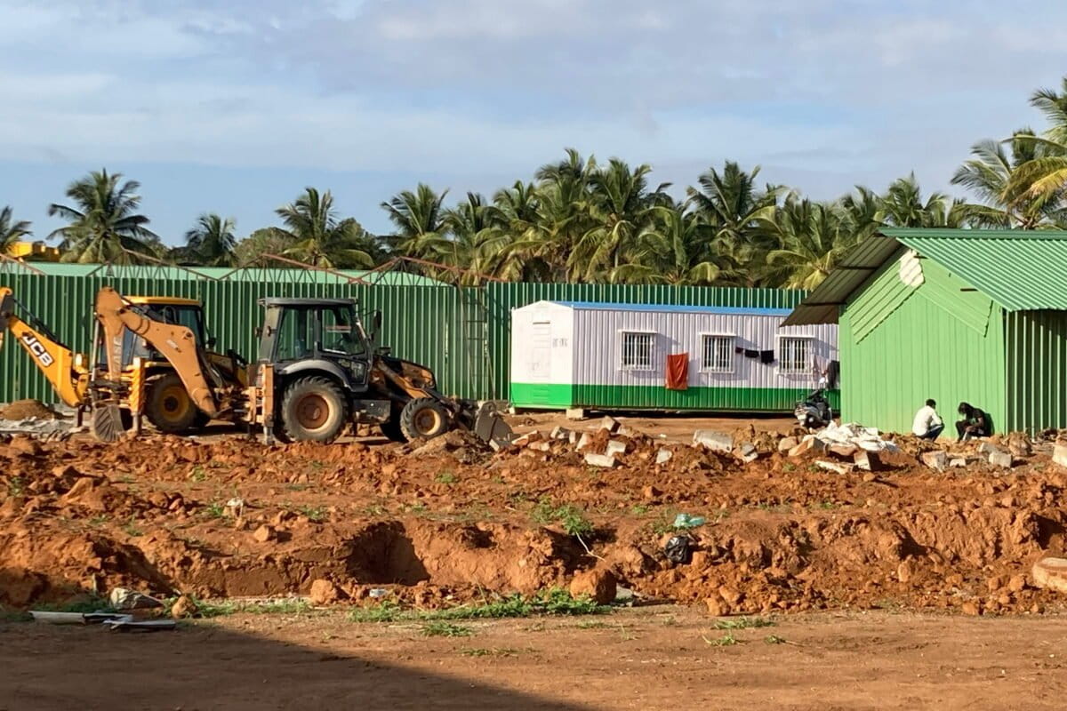
The Karnataka Tank Conservation and Development Authority (KTCDA) has transferred around three acres of land within the Hebbal Lake premises for the project, saying the lake’s physical structure and natural inflow and outflow will remain unaffected.
Experts, however, say the buffer itself is important.
T.V. Ramachandra of IISc explains that lake buffers act as floodplains, allowing excess rainwater to spread and slowly enter the ground. “The water stored in the underlying layer in the buffer zone is the water that, during the post-monsoon period, comes to the lake,” he says.
The project also sits next to another initiative in the same lake: a ₹20-crore rejuvenation of Hebbal Lake, started by the Greater Bengaluru Authority, to increase the lake’s water-holding capacity and reduce flooding in the surrounding areas. Ramachandra calls this a case of fragmented governance: one arm of government talking about restoring storage capacity, while another “disrupts the whole system by reducing the storage capacity”. Palur agrees: the rejuvenation is being handled by one authority, the tunnel by another, and “they don’t necessarily talk to each other,” even though both ultimately report to the same government.
The question, then, is not just whether the tunnel would be effective, but whether the city can afford to gamble on an infrastructure project whose long-term impacts remain uncertain. The Hebbal project also exposes the consequences of planning roads and waterbodies as separate systems.