Western Ghats Protection Proposal Faces Pushback From States
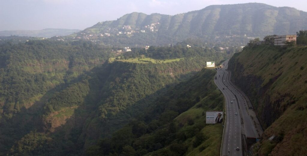
View of the Western Ghats from the Mumbai-Pune expressway (Image by Nagesh Kamath)
The Union Environment Ministry has issued its seventh draft notification to designate 56,825 square kilometres of the Western Ghats as Ecologically Sensitive Areas (ESA), restricting mining, quarrying, large-scale construction and other activities to protect the region’s biodiversity and geological stability.
But more than 15 years after the process began, the boundaries remain contested. States including Kerala, Karnataka and Goa have raised concerns over the potential impact of restrictions on tourism, farming, infrastructure and real estate. The tenure of the expert committee overseeing the process has now been extended until 2027.
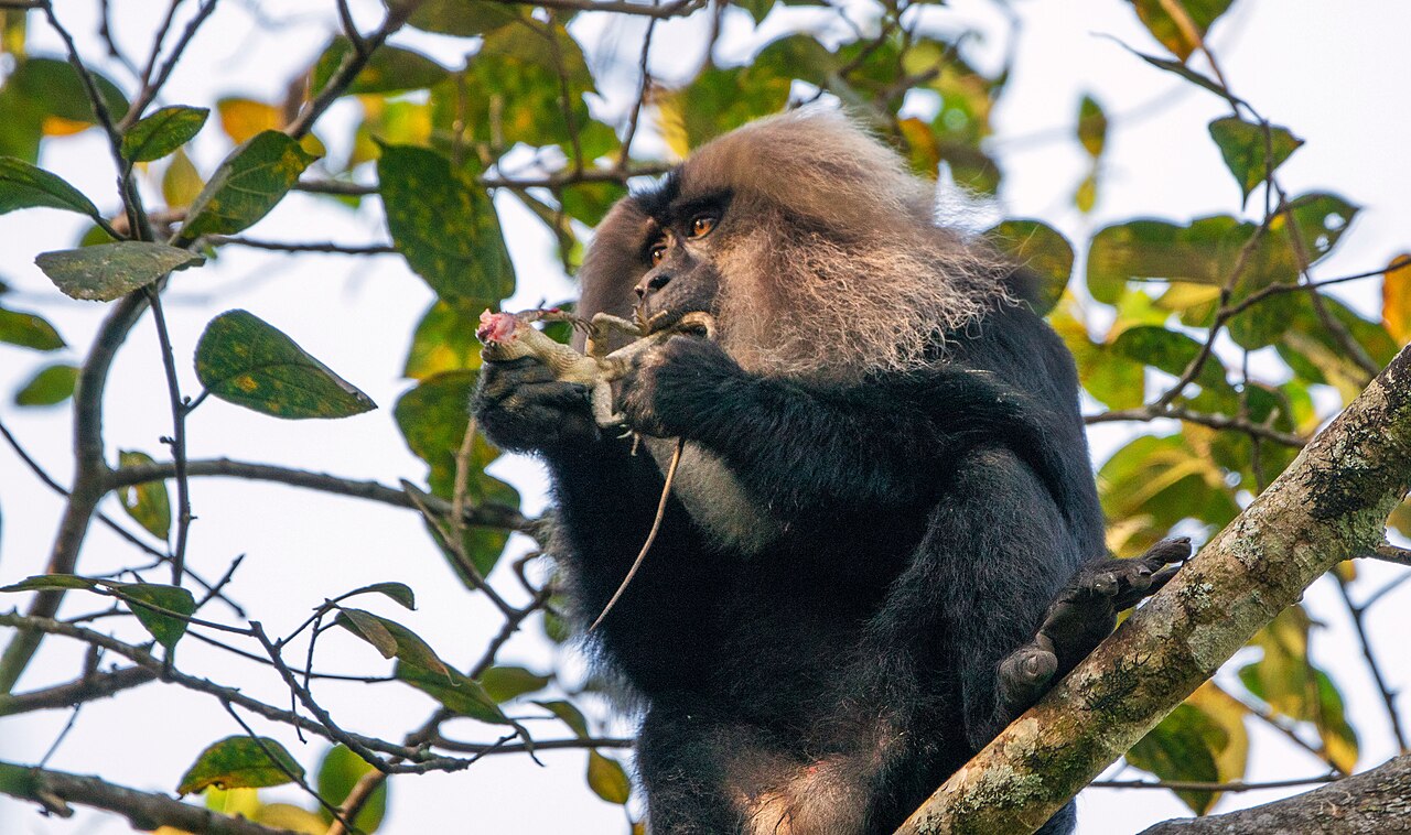
Stretching about 1,500 kilometres from the Tapti river valley along the Gujarat-Maharashtra border to Kanyakumari, the Western Ghats pass through Goa, Karnataka, Kerala and Tamil Nadu. The region is one of the world’s eight biodiversity hotspots, with more than 7,000 species of flora and fauna. Its steep and fragile terrain also makes it highly prone to landslides, requiring “special measures of protection and mitigation”, according to the draft notification.
The latest draft largely retains the area covered by the previous proposal. It bans mining, quarrying, sand mining, thermal power plants and red-category industries, while limiting new construction. Built-up areas are restricted to 20,000 square metres, while townships are capped at 50 hectares with a maximum built-up area of 1.5 lakh square metres.
Development concerns versus ecological protection
In Goa, the proposed ESA covers 108 villages, some of which are experiencing rapid conversion of agricultural and forest land into settlements. Architect and urban planner Tahir Noronha says the notification could restrict large real estate and industrial projects in these areas.
“Misinformation about the nature of restrictions has been spread among villagers,” he says, arguing that political interests have fuelled fears that residents will be unable to build homes for their families.
At the same time, Noronha warns that the restrictions may not prevent gradual fragmentation through small-scale construction. “Even though the ESA imposes limits on the size of construction for each project, it may not prevent the piecemeal conversion of small plots of protected areas to settlements,” he says.
Kerala has also opposed the proposed boundaries. Francis George, a Member of Parliament from the state, said the draft had failed to accommodate Kerala’s demand to exclude human settlements, plantations and agricultural land from the ESA.
Farmers and tourism-dependent communities in Wayanad and Idukki fear that restrictions could affect their livelihoods. “These restrictions impact the value of our lands, and for farmers, our land is our wealth,” says Alex Ozhukayil, chairman of the Kerala Independent Farmers Association. “We understand these are ecologically sensitive areas, but restrictions must be made in consultation with the people.”
However, a senior official familiar with the ESA process says Kerala’s proposed 9,993.7 sq km of ESA was based on the state’s own submission. The official also notes that existing buildings can be repaired and renovated, while activities requiring environmental clearance can continue if they comply with existing regulations. Hydropower projects are also permitted, subject to cumulative environmental impact assessments and a requirement to maintain at least 30% uninterrupted river flow during the lean season.
The dispute over the ESA is rooted in competing visions of conservation. In 2011, the committee headed by ecologist Madhav Gadgil recommended declaring the entire 1,29,037 sq km of the Western Ghats ecologically sensitive, with different levels of protection.
The Gadgil report also proposed a Western Ghats Ecology Authority and called for local communities to participate in determining the limits and management of sensitive zones.
States rejected several of its recommendations, particularly restrictions on industrial and infrastructure development. In response, the Centre appointed a high-level working group led by scientist K. Kasturirangan in 2012.
The Kasturirangan panel proposed a narrower ESA covering 59,940 sq km, or 37% of the region’s natural landscape, based on geospatial analysis. Unlike the Gadgil panel, it allowed for hydropower development under specified conditions. Subsequent ESA drafts have largely followed the Kasturirangan recommendations.
The need for a final decision has become more urgent as development and climate risks intensify. A devastating landslide in Wayanad in 2024 highlighted the vulnerability of the region to extreme rainfall and ecological degradation.
TV Ramachandra, formerly of the Indian Institute of Science, says protecting the Western Ghats is also critical for water security. “When the catchment area of rivers is surrounded by natural vegetation, rivers remain perennial,” he says. “Considering rising water scarcity in the region, preserving this source is critical.”
His research found that evergreen forest cover declined from 16% in 1985 to 11% in 2018, while built-up areas increased by 4.5% and agriculture by 9%.
Ramachandra warns that continued fragmentation could worsen biodiversity loss, human-animal conflict and climate-related risks. He also criticises the continued provision for hydropower projects, arguing that the Western Ghats have “already reached their saturation point”.
“Human-animal conflict, vector borne diseases, and the impacts of climate change are all likely to worsen if the Western Ghats are not preserved,” he says.
With the expert committee’s deadline now extended to 2027, the latest notification offers another opportunity to resolve the long-running dispute. But the central challenge remains unchanged: finding a balance between protecting one of India’s most important ecological landscapes and addressing the development aspirations of the millions of people who live within it.