Moving Beyond Annual Flood Relief With District-Level Planning
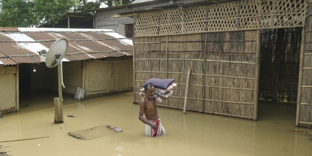
A man wades through floodwaters after days of torrential rains in Kampur, Assam (AP Photo)
More than 2.5 million hectares of cropland have been affected, over ₹400 billion in damages incurred and 1,215 lives lost to floods in Assam between 2012 and 2022. These figures, drawn from official data, capture only the quantifiable costs of a crisis that has become an annual feature of life in the state.
Yet the response remains largely predictable: public concern peaks during the floods, civil society groups mobilise relief, authorities explain the causes and embankment repairs are promised. What receives far less attention is the deeper governance problem behind the recurring devastation.
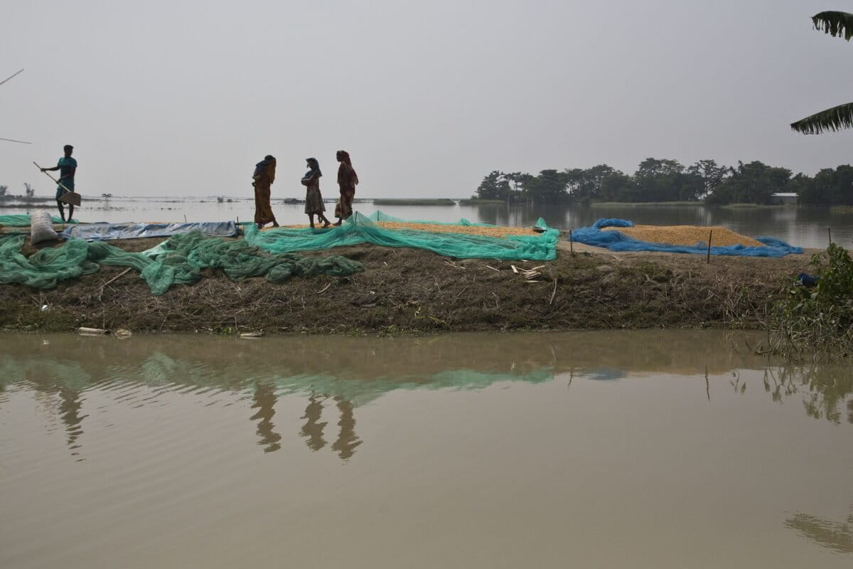
Assam’s flood management has historically relied on embankments and other river-control structures designed primarily to contain floodwaters. The state has constructed around 423 embankments covering more than 4,800 kilometres. But the approach has struggled to keep pace with changing flood patterns and growing vulnerabilities.
The Intergovernmental Panel on Climate Change (IPCC) defines flood risk through three interconnected factors: hazard, exposure and vulnerability. Hazard refers to the likelihood and intensity of flooding; exposure concerns the people and assets located in flood-prone areas; and vulnerability determines how severely communities are affected and how well they can recover.
Assam’s policies have focused predominantly on reducing the first factor — the hazard — through physical barriers. But flooding cannot be managed effectively without addressing exposure and vulnerability as well.
The Brahmaputra and Barak basins have long experienced flooding following intense rainfall in their catchments. High sedimentation has also progressively raised riverbeds, increasing the likelihood of overflow. Around 40% of Assam’s land area is considered vulnerable to floods.
Climate change, however, is altering these established patterns. This year, flooding was driven largely by overflowing south-bank tributaries of the Brahmaputra rather than the main river. Heavy rainfall in the hills of Nagaland, particularly in the catchments of these tributaries, triggered the flooding.
Assam’s flood strategy must shift from embankments to local climate adaptation
Such changes expose the limitations of a one-size-fits-all approach. Infrastructure and warning systems designed around historical flood patterns may fail when rainfall and river behaviour shift. Around 60% of Assam’s existing embankments are estimated to require repairs, underscoring both the financial and practical limitations of continually strengthening physical barriers.
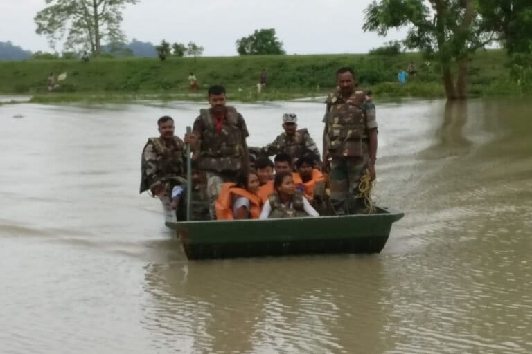
Rather than trying to permanently “fight the river”, experts increasingly argue that Assam needs to learn to “live with the river”. This would mean combining engineering measures with nature-based solutions such as wetland restoration, reforestation and improved natural drainage.
Equally important is recognising that vulnerability varies considerably from one district to another. A 2026 study by researchers from the Indian Institute of Technology, Guwahati, found that districts with higher poverty, poor connectivity, limited healthcare access and greater prevalence of kutcha housing are more vulnerable to flood damage.
A flood of the same magnitude can therefore produce dramatically different consequences depending on where it occurs.
This makes a stronger case for district-level climate adaptation plans. Assam already has district disaster management plans, but these largely concentrate on emergency response rather than long-term adaptation. Dedicated district-level adaptation plans could fill this gap while complementing basin-level and trans-state strategies.
Such plans could begin by mapping how climate change is likely to affect rainfall, temperature and flood patterns under different warming scenarios. This information could then be combined with local geography and socioeconomic data to identify risks to agriculture, housing, infrastructure and health.
The next step would be to establish adaptation priorities through consultations with local communities, officials and other stakeholders. Traditional knowledge could play an important role alongside scientific analysis. Communities often know where historical wetlands, drainage channels and water bodies once existed — information that can help identify natural pathways for floodwaters.
Localised planning could also strengthen early warning systems. Existing systems rely heavily on river-level monitoring, which is more effective for floods that develop gradually. Flash-flood guidance systems may also lack the resolution needed to identify highly localised rainfall events.
During this year’s flooding, sustained heavy rainfall in Nagaland’s Mon district lasted eight to nine hours, yet downstream communities were reportedly not alerted in time. A decentralised warning system could allow district officials to monitor local rainfall and hydrological conditions and communicate warnings directly to vulnerable communities.
Housing is another area where district-specific planning could make a difference. Traditional stilt houses, or “chang ghars”, could provide useful design lessons in flood-prone areas. But adaptation must also account for Assam’s high seismic risk, meaning resilient housing needs to withstand both floods and earthquakes.
Finance must change alongside planning. Loans from institutions such as the Asian Development Bank and World Bank have helped fund flood-management projects, but these have often continued to prioritise embankments and engineered erosion-control measures. District-level adaptation plans could instead provide a pipeline of locally identified projects focused on reducing vulnerability and strengthening community resilience.
Assam does not need to abandon embankments or engineering altogether. Rather, it needs to broaden its definition of flood management. Basin-level planning remains essential, but it must be complemented by local knowledge, district-level risk assessments, nature-based solutions, resilient housing, stronger social protection and decentralised warning systems.
The central challenge is no longer simply how to keep floodwaters out. It is how to ensure that when the waters arrive, fewer people are exposed, fewer communities are vulnerable and recovery is faster.